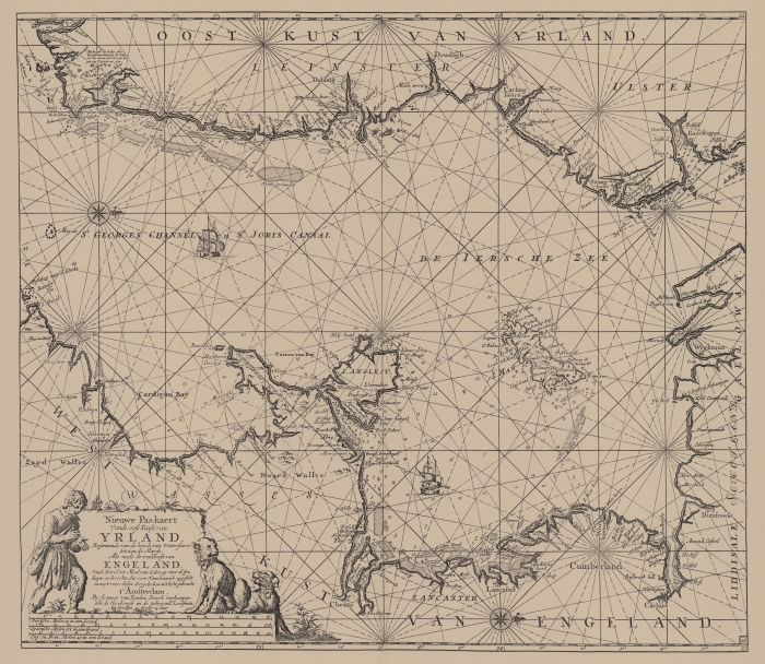
Van Keulen (1728, kaart 59)
Description Nieuwe Pas-kaert Vande oost Kust van Yrland Beginnende van de hoeck van Waterfoort to aen de Mards Als mede de westKust van Engeland Van S. David tot Moul van Galoway met al syn diepte en droochte dus veer Nauwkeurich opgestelt en noyt voor desen diergelycken in 't licht gebracht
Datum :1728
Plaats: Irish Sea, Sint-Georgekanaal
JPG file - 4.06 MB - 7 156 x 6 228 pixels
added on 2011-08-032 105 viewsMarine Gazetteer Places on this image:Irish Sea and St. George's ChannelSt. Georges Channel
From reference Voogt, C.J.; van Keulen, J. (1728). De Nieuwe Groote Lich... (page [219])
This work is licensed under a Creative Commons Attribution-NonCommercial-ShareAlike 4.0 International License