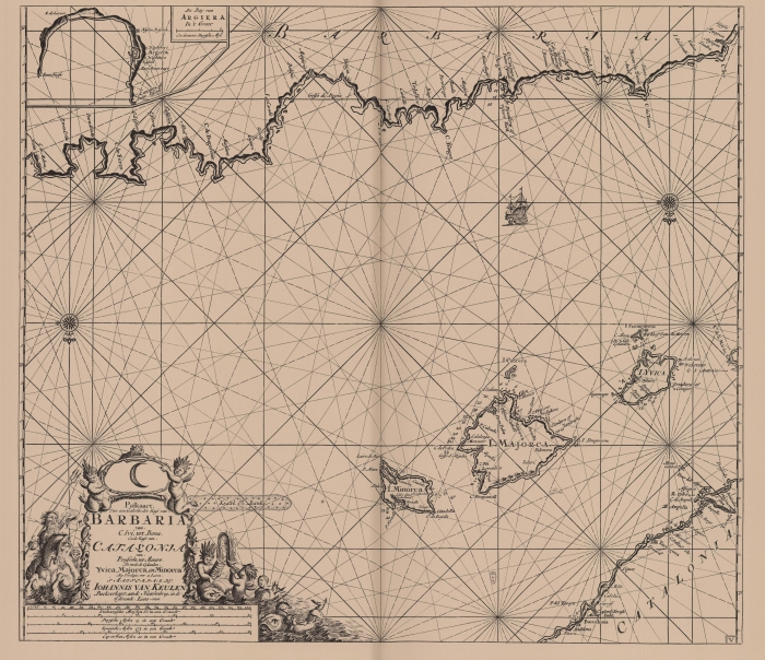
Van Keulen (1728, kaart 092)
Description Paskaart Voor een Gedeelte der Kust van Barbaria van C. Ivi tot bona Ende Kust van Catalonia van Peniscola tot Mataro Als mede de Eylanden Yvica, Majorca en Minorca
Datum: 1728
Plaats: Balearic Sea, West-Middellandse Zee, Balearen
JPG file - 4.09 MB - 7 167 x 6 200 pixels
added on 2011-08-042 117 viewsMarine Gazetteer Places on this image:Balearic SeaBalearic IslandsWest Mediterranean
From reference Voogt, C.J.; van Keulen, G. (1728). De Nieuwe Groote Ligt... (page [22])
This work is licensed under a Creative Commons Attribution-NonCommercial-ShareAlike 4.0 International License