Maps
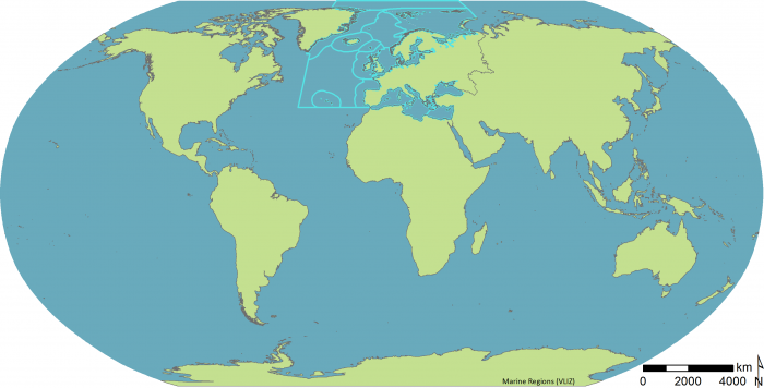
ICES Ecoregions (2015)
Description Delineation of the ICES Ecoregions was originally described in ICES Advice ACFM/ACE report (2004).In the present updated version, the delineation has been updated to account for additional policy objectives and reconciling of legislation (eg the MSFD and the EU water and habitats directives).
The differences are based on the four principles:
- Within the EU accept the MSFD regional and sub-regional definitions.
- Separate Icelandic Seas from those around Greenland.
- Use Large Marine Ecosystem units to define the Arctic Ocean.
- Use the accepted Norwegian regional management plans definitions of the Norwegian and Barents Seas.

This work is licensed under a Creative Commons Attribution-NonCommercial-ShareAlike 4.0 International License
Click here to return to the thumbnails overview


