Maps
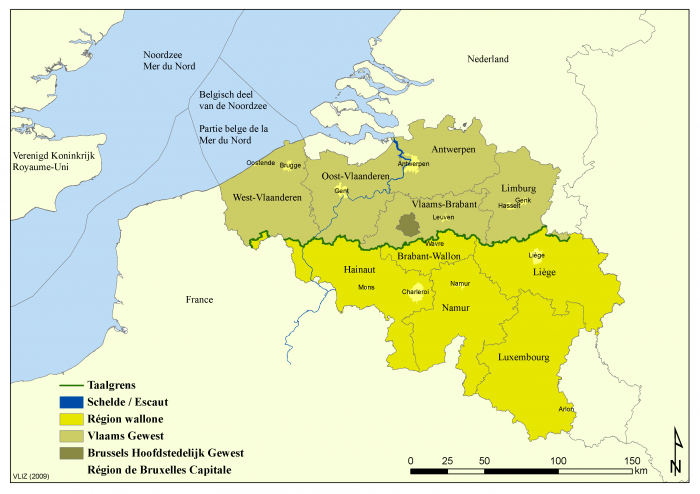
Administrative map of Belgium (nl/fr)
Description Map of the geographical and administrative situation of Belgium and the proximity to the North Sea and the neighbouring countries. Source: "Een eeuw zeevisserij (VLIZ 2009)".
PNG file - 193.27 kB - 3 506 x 2 481 pixels
added on 2012-11-232 912 views
Download full size
This work is licensed under a Creative Commons Attribution-NonCommercial-ShareAlike 4.0 International License
Click here to return to the thumbnails overview


