Maps
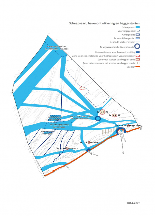
Navigation, port developpent and dredging dumping
Description Scheepvaart, havenontwikkeling en baggerstorten / Navigation, développement portuaire et déversement de boues de dragage
PNG file - 1.03 MB - 1 318 x 1 836 pixels
added on 2014-04-012 901 viewsGazetteer Places on this image:Belgian Exclusive Economic Zone
From reference Van de Velde, M. et al. (Ed.) (2014). Er beweegt wat op z...
Download full size
This work is licensed under a Creative Commons Attribution-NonCommercial-ShareAlike 4.0 International License
Click here to return to the thumbnails overview


